
The first thing you should know is if you run afoul (pun very much intended) of the law, I can’t bail you out. If you read the “About the Author” page on MentalMunition.com, you’ll note that I’m not a lawyer. My only legal qualifications are an undergraduate course in media law.
Having said that, I started researching drone law and writing back in March, shortly before the Brookings Institution organized a panel on domestic drones and privacy. The ACLU had just published a report in December 2011 called “Protecting Privacy from Aerial Surveillance: Recommendations for Government Use of Drone Aircraft” that referenced important Supreme Court cases that might play a role in drone law.
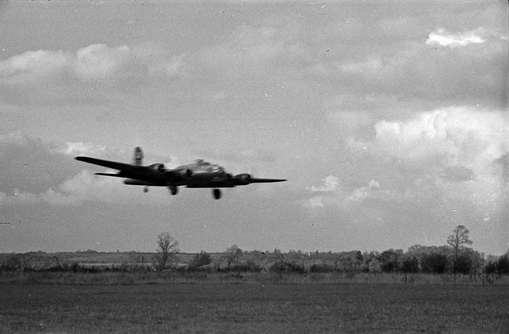
Just this week, Alexis Madrigal, the senior editor for the Technology channel at the Atlantic, wrote about two cases that could have some bearing on drone law, Guille v. Swan, and U.S. v. Causby. The latter involved dead chickens.
I’ll be writing about that case here. When we talk about drone laws, we’re talking about a speculative thing. To date, no journalist has been sued for violating rights of privacy with an unmanned aerial system. There is no legal precedent specifically for drones as of yet, although that might change in the near future. As drone technology proliferates, so too does the potential for abuse and for court cases.
But the United States courts are not absent of precedent that would come up in a privacy case involving drones. It’s is important to keep in mind that in many cases drone journalism is a form of aerial photography, albeit an unmanned form of aerial photography. Additionally, cases that consider whether the National Airspace System (NAS) is public or private are highly relevant.
