Showing posts with label drone journalism. Show all posts

Thursday, February 27, 2014

A call for journalists and makers to join hands around IOT and evidence-based journalism


Writing for Al Jazeera English, D. Parvaz reported on a recent conference for atomic experts organized by the International Atomic Energy Association (IAEA), where it was remarkably difficult to get answers from atomic experts.

The conference, titled “International Experts’ Meeting on Radiation Protection after the Fukushima Daiichi Accident – Promoting confidence and understanding,” was generally closed to the media. Journalists received presentations on USB drives, but were not given any opportunities for Q&A. The media handlers were pleasant, but not very helpful, Parvaz noted.

Great! I requested an interview with the IAEA Scientific Secretariat, Tony Colgan (no can do). Or a statement on why the conference was closed to the media (not so much). How about an IAEA expert on the effects of radiation on sea life? (Nope).

For a conference designed to “promote confidence and understanding” with the public, there was very little engagement with the public. Despite this, Parvaz did find one group of presenters who were very helpful and answered her questions.

Monday, February 24, 2014

Satellite images show devastating effects of a big tornado on a small Illinois town

before
after

The Nov. 17, 2013 tornado outbreak ended the lives of three people in the town of Washington, Ill., and upended the lives of many in the town of 15,000.

Many news stations released aerial photos of the devastation, but only recently were satellite photos released which gave a new appreciation of the scope of the disaster. As many as 500 homes were damage or destroyed during the tornado outbreak.

Tuesday, February 4, 2014

A bug's eye view, brought to you by a nano quadrotor drone.


What's better than a tiny drone that buzzes like a bee through offices and hallways? How about a tiny drone shielded with a 3D-printed frame, controlled by a Raspberry Pi base station, and equipped with a miniscule video camera and transmitter?

Monday, January 13, 2014

A discussion on deploying drones for international development


Last month, Deutsche Post DHL transported six kilograms of medicine from a pharmacy in Bonn, across the Rhine River, to its headquarters.

This wouldn't have made international news, except that DHL accomplished this with an unmanned aircraft system - commonly known as a drone.

This came less than a week after Amazon's Jeff Bezos claimed his company would deliver products to customers' doorsteps via drone in three or four years. Regulations  and technological hurdles would make Bezos' plan all but impossible in the US near-term, but DHL proved that with proper planning and logistics, you could deliver small parcels with small drones today.

On January 22, The International Research and Exchange Board, or IREX, will be hosting a "deep dive" discussion on how this same technology could benefit international development.

Monday, October 28, 2013

Building and flying an incredibly tiny quadrotor drone


At the National Science Foundation grant where I work, EnLiST, we've been tinkering with various different drone platforms which could be easily deployed in classrooms for valuable STEM (Science Technology Engineering and Mathematics) lessons.

Although we're focused on STEM education, it's not hard to see how some of these drones can be used in a variety of other fields. The quadrotors we develop one day could be deployed for research in environmental science, geology, city planning, and even "evidence-based" journalism.

Drones are useful like that. At the end of they day, they're simply a means of getting a sensor from one place to another. What you use that sensor for, is entirely up to the teacher, scientist, or journalist.

We needed a drone that was small enough to fly in a classroom, easy enough for children to fly (not saying much as kids tend to pilot drones with relative ease), and hackable enough that we could mold it to fit our science curriculum.


Enter the Crazyflie nano, a tiny, open-source drone developed by Swedish hackers at Bitcraze.se. At 19 grams, and measuring 9 cm from motor to motor, it's one of the smallest quadrotor drones on the market today.

Monday, September 23, 2013

Drones, journalism, and the peak of inflated expectations


It's a story that's been repeated time and time again with emergent technology. Researchers publish some new breakthrough, and the press grabs hold of the news release and begins extrapolating stories about how the new tech could revolutionize our lives. Expectations build as ideas bounce within the media echo chamber, pitchmen evangelize audiences at the trendy tech conferences, and venture capitalists make power plays in the market.

Everyone wants a piece because the sky is the limit, and the sky is the limit because everyone wants a piece.

Products finally hit the market, and eventually, reality sets in. Like the doomsayers who predict apocalypse time and time again, the prophesied miracles fail to materialize. The technology is immature. Deliverables fail to match objectives. Most importantly, the technology was overvalued, and an adjustment takes place.

This "hype curve" -- rising expectations, peak interest, and curbed enthusiasm -- doesn't happen to every piece of technology that comes around. But this bubble does happen with surprising regularity. Every year, Gartner, a tech research corporation, produces a report that attempts to identify where various technologies are riding on this bubble.

Gartner released its latest report, "2013 Hype Cycle for Emerging Technologies," last month. In it, the company prognosticates that drones and other unmanned technologies are coming up to that peak. At that point, the unmanned systems sector might be in for some pain.

Tuesday, June 18, 2013

Civilian whose drone was shot down over Turkey protests comes back for more video


Since May 28, citizens in Turkey have been protesting their government's plan to raze a park in the country's capital, and replace it with a commercial center and military barracks. Violence in Taksim Gezi Park has escalated much since then, with police hitting protesters with tear gas, rubber bullets, and water cannons.

On June 13, I reported on sUASNews.com that a civilian had been filming clashes between police and demonstrators from the sky with an RC aircraft, and that the drone had been shot out of the sky by police.

The drone's pilot, who goes by the name Jenk, was able to capture dramatic footage of the violence from the sky before his aircraft went down on June 11. Video from his DJI Phantom showed billowing smoke, and demonstrators scrambling to find cover from high-pressure water hoses and lobbing back the gas canisters from the riot police.

Now, it appears that Jenk has either repaired his drone or found a new one, and has returned to the Gezi Park protests to capture more aerial footage.

Thursday, June 6, 2013

Finding a definition and purpose for sensor journalism at the Tow Center

#Towsense presentation on mapping mangroves
by Aaron Huslage, photo by Moshin Ali (@moshin)
Before I left for the Tow Center's sensor journalism workshop at Columbia University last weekend, my wife and I hosted some friends for a spinach lasagna dinner. On the stack of books my wife was researching for her dissertation on toxins in science fiction, sat my latest obsession, the DustDuino sensor node.

While we ate, the node's tiny LED lights blinked away as it took particulate matter readings every 30 seconds. A friend pointed out the interesting juxtaposition of the pollution monitor siting on a copy of Rachel Carson's Silent Spring. Our friend's husband, an entomologist, asked what it was all about.

"Part of the idea is to have people make these all over the country, especially places with bad air," I said.

"Interesting," he said. "You know... that doesn't sound much like journalism," he said. "It sounds like research."

I thought about it for a moment, and took a sip of the lemon-and-bourbon cocktail my wife prepared. I didn't have a good answer.

"Journalists are kind of unemployed at the moment, so we're looking for other things to do," I replied.

For me at least, the Tow Center's workshop helped find an answer to that question, and provide a deffinition and goal for sensor journalism. About 50 folks with backgrounds in journalism, science, architecture, community informatics, and computer technology came to the Tow Center's first sensor journalism workshop on June 1-2.

I owe a big debt to the organizers of this event: Emily Bell, the Tow Center director; Fergus Pitt, Tow research fellow; Taylor Owen, Tow research director; along with Laura Kurgan, director of the spatial design lab at Columbia; and Chris Van Der Walt and Sara Jayne Farmer of Change Assembly, Inc.

Wednesday, May 8, 2013

You can't always get the the drone you want, but if you try a laser you'll get what you need


 The "perfect" small unmanned aircraft, commonly called a drone, might still be several generations away. But like Moore's law, those generational cycles are getting shorter and shorter.

Chris Anderson of 3DRobotics suspects we're closing in on the drone equivalent of the Mac: a relatively affordable, accessible, and most importantly, practical piece of technology that can be deployed every day.

Tremendous headway has been made with multirotor technology (the heicopters, quadrotors, hexcopters, octocopters, and what have you). The market is quickly becoming flush with a variety of these aircraft, to the point where several options are available for each price bracket.

There's everything from $300 hobbyist rigs from big-name RC and electronics manufacturers, to $1,000 semipro setups from DJI and 3DRobotics, to $10,000 rigs that can loft, pan and tilt a DSLR or DV camera. The differences between each step may be as simple as stronger frames, larger motors and higher-capacity batteries.

A drone of your very own, from novice to pro. Sometimes no assembly required.

For the time being, however, it's still useful to have the technical know-how to put one together. It's even more useful to know how to fabricate a drone, or fabricate parts to suit your specific application.


Monday, April 8, 2013

On engaging the public on privacy, journalism, and drones.

Journalists might be familiar with the quote by US Supreme Court Justice Louis Brandeis, who once wrote "Publicity is justly commended as a remedy for social and industrial diseases. Sunlight is said to be the best of disinfectants."

Journalists seeking to use unmanned aircraft would be wise not to just apply that concept of uncovering the truth about others, but also to make the public aware of how they intend to use "drones."

While the response journalists get from the public might be unexpected, the answer is not to become defensive or rely on ad-hominem arguments. Whatever your station in journalism, you are as much a servant to the public as any of the officials you interview.

The following is copied from the post I wrote for sUASNews.com.

Thursday, March 28, 2013

Seven more reasons why journalists should learn to fly unmanned aircraft

Felix Gillette at Bloomberg Businessweek has come up with a list of seven reasons why journalists, and not just "cubs reporters," should be learning to use unmanned aircraft systems -- usually called "drones" in the media.

Here's seven more reasons why journalists should consider UAS.

1) They give all news outlets and journalists the freedom to cover important events from the sky.

Traffic snarls? Done. Spot news? Got it. Weather reports? Sure thing. Aerial view of Nasa’s latest space telescope at South By Southwest? Absolutely.

These are all events that could be covered before by large, expensive news helicopters. Of course, only stations in the largest of markets could afford such a luxury. But thanks to inexpensive, small unmanned aircraft, that is no longer the case.

Ted Pretty, a meteorologist for a Fox station in Las Vegas, was one of our first members at DroneJournalism.org. While his station couldn't buy a helicopter, it did have the wherewithal and foresight to send him to an online UAV school. He's now experimenting with a multirotor system, and uploaded some of the results on YouTube.

Monday, March 4, 2013

A map of all the drone laws in the United States.


The ACLU recently published on its technology blog a list of 28 states that are pursuing regulations for unmanned aircraft systems, or UAS. They're more commonly referred to as "drones," and in fact many of the proposed laws use that exact word.

I dug further to find out what lawmakers are actually proposing. You may click on individual states in the above map to learn more about specific legislation.

Out of the 28 states, 14 are proposing limitations only to law enforcement. In most cases, proposed legislation would make it illegal for law enforcement to use an unmanned aircraft without a warrant.

Some also call for evidence obtained from a "drone" to be destroyed after a specified period. A few ban any government entities from using the technology altogether.

Thursday, February 21, 2013

Engineering periodical profiles emerging field of drone journalism


The Technograph, a student-run publication at the University of Illinois and one of the oldest engineering periodicals in the world, profiled drone journalism in its 128th volume (spring 2013). Includes an interview with Matt Waite, journalism professor and head of Nebraska's Drone Journalism Lab:

Thanks to modern news media conditioning, whenever one hears the word “drone,” one invariably associates the word with military-operated wraiths of the night, waging covert warfare against terrorist groups. However, not all drones are weapons of war. The emerging field of drone journalism aims to use remote-controlled and autonomous robots to aid journalists in collecting information and in reporting the news...
The main advantage of using drones, for Schroyer, is “a more evidence-based approach to journalism. Getting beyond interviews and hearsay and actually getting to some data and evidence that journalists can use.”
Read the story on Technograph's website.

Monday, January 14, 2013

Nodes for journalists: a primer on bringing sensor data to the reporter


Drones are pretty cool, and could be pretty useful for journalists. They allow journalists to film hard-to-reach spots, such as partially-sunken cruise liners. These unmanned systems also can be used to collect geospatial data and photomaps, both of which can come in handy for a journalism investigation.

As I’ve written before, though, drones simply are remotely piloted aircraft (or watercraft). By themselves, they are not very useful tools. What actually makes them useful is that they are mobile platforms for sensors, which can collect data to guide reportage. Cameras are just one of a multitude of sensors that drones can carry into the sky.

What kind of additional sensors could you use on a drone? It’s probably easier to ask what exactly you want to measure in the environment, and then find a sensor to fit the application.

Wednesday, January 9, 2013

Droneveillance, and blogging for the International Symposium on Technology and Society


Lately I've found myself blogging for the International Symposium on Technology and Society, or ISTAS. It's an annual conference sponsored by IEEE (the Institute of Electric and Electronic Engineers), which as its name suggests, focuses on the impact that evolving technologies have on everyday life. This year's conference will pay special consideration to the future of the smart infrastructure and surveillance:
In a world of smart things like smart lights, smart toilets, smart grids, smart meters, smart roads, and the like, what happens when you have "smart people" (i.e. put sensors on people)? What do we make of the growing numbers of businesses like department stores and restaurants that prohibit cameras, yet display QR codes that require cameras to read and understand?
It's not just about surveillance, either. Surveillance has a specific meaning, which refers to observing people or objects from an elevated position.That means surveillance is conducted by law enforcements and governments. Sousveillance, on the other hand, means observing or recording from below. When average citizens, as opposed to the government, do the recording, that's sousveillance.

How about droneveillance? Unlike fixed cameras, drones are highly mobile platforms for a variety of remote sensing devices. They're agile, relatively silent (depending on the altitude), and can even fly indoors. They've gotten especially smart at negotiating obstacles and mapping unfamiliar terrain, and they can work as a team to provide comprehensive monitoring.

Wednesday, January 2, 2013

Time-lapse photography with drone parts


Let’s say you’re a journalist and you want to record an important event taking place over an extended period, say 12 to 72 hours. Or even a week, or longer. If you want to record the event with video, that’s far too long to expect anyone to watch it in its entirety.

You can, however, record the whole thing and use some kind of time compression in post-production software. But if you’re recording on high definition video, you can only expect to record about four hours on a 32 gigabyte SD card. Even if you manage to capture 12 or 72 hours of high-definition video using a hard drive, it’s going to be hard to work with such a big file.

The solution is time-lapse photography, which simply means taking photos at regular intervals and turning them into individual frames on a video. During hurricane Sandy, a number of news sites and tech-savvy citizens used a time-lapse photography to document the storm's impact on New York City (below). If you’re not in a hurricane-prone area, you can find other weather-related applications for this technique, such as recording a flood-prone area during a storm.


Of course, you could just as easily record important non-weather events, such as big construction projects, or traffic on a bottlenecked road. Compressing these large-scale but slow-moving events into a one or two-minute clip makes for dramatic video.

At its most basic, you only need two things to pull off a time-lapse video. You’ll at least need a camera equipped with an intervalmeter (a fancy way of saying it can be programmed to take photos at regular intervals), and software to turn the photos into videos.

A camera battery will only last so long, though. If you’re hoping to capture an event longer than three hours, you’ll probably have to rig up an external power supply. This power supply can be as simple as a motorcycle battery hooked up to a voltage regulator, or it can be a sophisticated, computer-controlled lithium polymer setup with photovoltaic (solar) cells. Then there’s the matter of finding a memory card of sufficient size, and a mounting solution with sufficient stability.

Simple is better. If you’ve got drone journalism equipment lying around as I do, you likely already have all the requisite components to make a great time-lapse video. The following is a breakdown of my own experiment in time-lapse photography, which you can replicate or modify to suit your own needs.

Monday, December 31, 2012

Canadian International Council and a year-end status report


Earlier this month, the Canadian International Council wrapped up its "Drone Week," which pooled the writings from national policy and technology experts, to help understand how drones could change the air and ground in three different contexts: Kill, Watch, Aid.

Much of this conversation revolved around the proliferation of drones as weapons. As I wrote in my own CIC piece for Opencanada.org, "Drones for Good," given the history of media's relationship with technology, this was only to be expected:

If we’re being dictionary-accurate, though, “drone” merely means an airplane or boat guided remotely. The first drone was invented by Nikola Tesla, who wowed audiences in New York City’s Madison Square Garden with a radio-controlled boat in 1898. His audience, baffled and scared by the demonstration, likely had little or no previous exposure to radio technology. It would be nearly a decade until the first public radio broadcast, a live transmission from the Metropolitan Opera House.

A New York Times reporter asked the question that would dog the technology from that day on: What of the military applications for the tiny electric boat? “You do not see there a wireless torpedo,” Tesla replied, offended by the reporter’s suggestion. “You see there the first of a race of robots, mechanical men who will do the laborious work of the human race.
"
 Combine the public perception of drones with the public perception of the media and journalists, and it's easy to see how drone journalism faces and uphill battle. But, I wrote, limiting domestic drone use would have consequences.

In other news, weather has been particularly miserable for flying drones as of late here in central Illinois.

The cold really isn't the limiting factor here, either. Cold temperatures make it difficult for small gas motors to operate (they rely on glow plugs to ignite the compressed mixture of air and fuel, which requires heat). But lithium polymer batteries are actually fairly resilient to the cold.

The autopilot might be the limiting factor in cold weather, as I'm finding out the ceramic resonator that keeps the autopilot microcontroller in sync can be thrown off by extreme temperatures. However, it's much easier to warm something up than cool something off from an electrical standpoint. Cold isn't fun, but it's not ultimately a deal-breaker.

Wind actually is the biggest problem. It's hard to fly my current fleet of drones in 15mph winds. It's not impossible to fly a drone in that kind of wind, it just requires a bigger drone (an 8 foot wingspan would be nice).

While I'm waiting for the weather to improve, I'm focusing on using drone equipment for other data-gathering applications, and working on drones that I can actually fly indoors. More on that in 2013.

Monday, November 26, 2012

An introduction to small drones - from the AMA

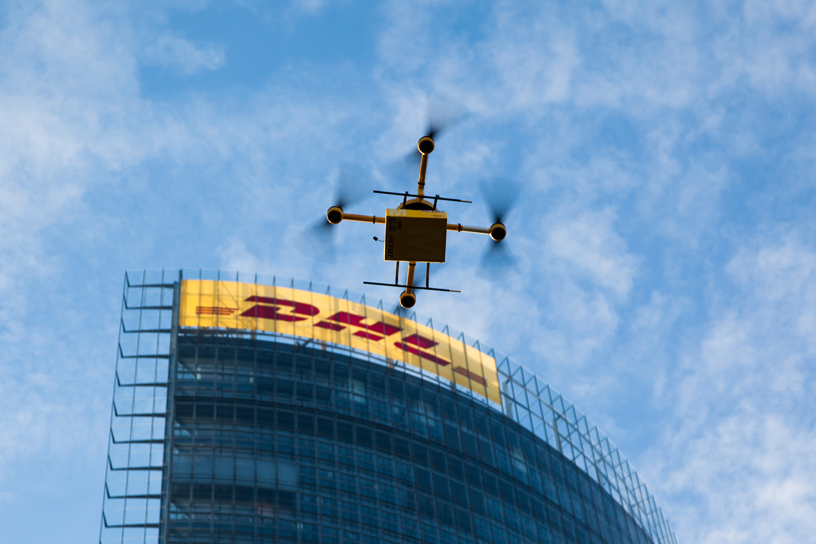
Go back just one or two years in the world of drones, and you'll notice a distinct separation between the price of these small, remotely-guided aircraft. At the top end, you had systems like the Gatewing X100 and the DraganFly X6 which cost $20,000 and up, with some models . These units were generally designed for commercial or government use, and with adequate training, can be flown "out of the box."

But for hobbyists and members of the DIY/Maker movement, similar products could be hacked together from GPS and gyro-equipped microcontrollers, RC electric motors, and RC radio equipment for about $1,000.

This price point has made drones very attractive to "hacktivists," or activists with a great deal of technical ability who use that expertise to further the goals of a political cause. Think Tim Pool and the Occucopter, anti-ACTA protestors in Estonia, N8 protestors in Argentina, or SHARK and its Angel Drone (recently shot down for the fourth time).

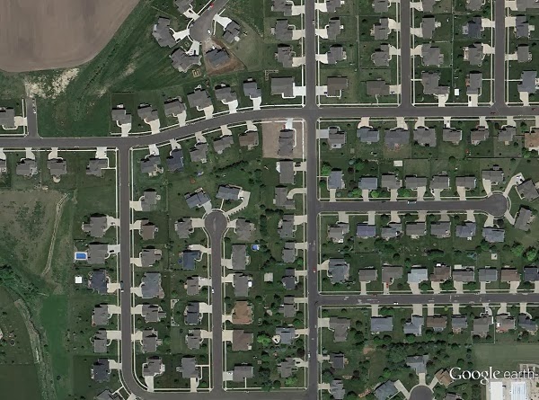
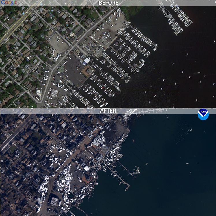
The video obtained from these aerial platforms have proved useful in rallying support and attention to political movements. Journalists would do well to take notes from how the hacktivists have deployed drones around the world -- because these methods can be easily transplanted into journalism.

The cost of drones has dropped considerably in recent years, now opening up a nice $2,000 - $15,000 range of drones that don't require much hacking experience at all. But there's just one big problem: regulations. There's currently not a place in the FAA regulations for a viable commercial pursuit of drones, and that includes commercial journalism.

There is, however, a place for government and research institutions to use drones. That place is called a Certificate of Authorization, or COA (pronounced "Koh-ah" in the industry).

But let's say you're not a government institution, and still want to fly a drone. There is still a place for you to fly a drone, albeit as a hobbyist.

The FAA regulation AC 91-57 allows anyone to fly a remote-controlled vehicle, for recreation, so long as the aircraft is not flown above 400 feet AGL (above ground level), or within 3 miles of an airport. You must also give way to full scale airplanes, should they enter your airspace (but that really shouldn't happen, given that the lowest legal limit for an airplane to fly is 500' AGL).

Since you're flying as a hobbyist, you should get to know the Academy of Model Aeronautics. The AMA dates back to 1936, and it's the largest association of its kind in America. Club members have years of experience dealing with nearly the exact same kind of controls, radio equipment and motors that make the majority of the $15,000-and-under drones work.

And as a paid member, you get $2.5 million in liability coverage, should your drone have an unfortunate series of events. Keep in mind that coverage is only valid if you follow AMA guidelines.

The latest issue of Model Aviation, which is AMA's official magazine, has quite a few pages devoted to drones. Apparently quadrotors are the biggest growth area for the entire RC hobby. Hobbyists are especially captivated by the aerial video capability of these drones (seeing a theme here?).

The December issue has a great write-up that's a good introduction into multi-rotor drones meant for hobbyists, but it's great for journalists as well.

An excerpt from the article:

Multicopters come in all shapes and sizes. Although there are configuration differences, they all have the same basic components: pilot command and control, motors, propellers, ESCs, a frame, and a flight control module.

Depending on how advanced you want to be, multicopters may also have video cameras, GPS, compasses, barometers, sonar sensors, and telemetry. Often, many of the sensors and secondary options are built into the flight controller, which also houses the electronic gyros and accelerometers found on most multicopters.
 The article also includes some interesting historical background on the origin of multicopters and similar aircraft. Read "Rise of the multicopter" here.

Saturday, November 10, 2012

Activists record 8N protest with drones, continue to take lead on drone coverage


Progress in covering large events with aerial drones, especially protests, has been led almost exclusively by political activists. The most recent effort by activists to use drones document the scale of anti-government demonstrations comes from Argentina, where the “8N” demonstration on Thursday, November 8.

That day, some 30,000 Argentinians protested economic conditions, government corruption and the fear that President Cristina Fernandez will attempt to end her term limit.

According to the group El Cipayo Argentino, the government had closed down the airspace ahead of the protest, and did not allow news helicopters to cover the event. So the group came up with a low-budget workaround: they built their own aerial drone to provide coverage from the sky.

As you can hear from the video, the camera attached to the drone picked up a great deal of propeller and motor noise. The fact that protestors can be heard above the din of the whirring motors speaks volumes.

Al Jazeera has a write up about the protest and the activists behind the drone here.

Friday, November 9, 2012

We need more drones because we’re having more big disasters.


The images of an inundated New York City certainly were eye-catching. But it isn’t until you start parsing the data that you start to really understand how bad things got for the East Coast.

Some of the most startling stats: winds pegged at 90 miles an hour when Sandy made landfall as a tropical storm. It left 185 dead between Jamaica and its terminus in the US. It was the second costliest hurricane in recorded history after Katrina, with $52.4 billion in damages. Five thousand commercial airline flights cancelled. Across 26 states, up to 80 million were affected. Eight and a half million people without power after the storm.

Even 11 days after the storm, with freezing winter temperatures closing in, 428,000 in New York and New Jersey remain without power.

Aon Benfield, an insurance broker that specializes in catastrophe management, crunched the numbers and found something just as remarkable about hurricane/tropical storm Sandy. Well, perhaps not so much about the storm itself, but how it fits into recent weather events and climate change in general.

“Devastating Hurricane Sandy was the eleventh billion-dollar weather-related disaster in the U.S. so far this year, and the most expensive,” wrote Wunderground.com’s Jeff Masters, of Aon Benfield’s latest report. “This puts 2012 in second place for most U.S. billion-dollar weather disasters behind 2011, when NOAA's National Climatic Data Center (NCDC) counted fourteen such disasters.”

Meanwhile, climate scientists noted that not only did global warming make such a historic slew of storms possible, it also made the sea level rise, thus increasing the damage to coastal areas.

“Sandy threw the ocean at the land, and because of global warming, there were about eight inches more ocean to throw,” wrote Chris Mooney on The Climate Desk. “As the water level increases, the level of damage tends to rise much more steeply than the mere level of water itself.”

When Thailand was flooded in 2011, the government contracted a drone to scout out where flooding had occurred, which helped make decisions about where and when to release flood gates. The contractor flew more than 60 flights over a period of 45 days, and claimed that the data obtained from those flights helped prevent the city of Bangkok from suffering more during that catastrophe.

That same year, back in the states, freelance journalist and storm chaser Aaron Brodie took sweeping shots of the Jersey Shore with his own multicopter before and after Hurricane Irene. He uploaded this footage on YouTube, but amended his post after Sandy:

“Irene was child's play in comparison to Superstorm Sandy. In fact, there was no real damage from Irene,” Brodie wrote.

The public wasn’t able to obtain coverage from drones for Sandy. Some news sites did, however, post before and after photos of New York and New Jersey. These post-sandy aerial photos were obtained by the National Geodetic Survey, with the help of NOAA’s King Air and Twin Otter remote-sensing aircraft. The photos were set side-by-side with historic satellite imagery, allowing users to drag these images to do their own comparisons.


Because of the prohibitive cost of aerial photomapping, these images were gathered by government agencies. But, if FAA regulations allowed it, the job could have easily been done with a $1,000 aerial drone. That puts it within reach of even independent and backpack journalists. Or concerned members of the community.

If the climate models hold true, there’s going to be more “superstorms” like Sandy every year. There will be more billion-dollar disasters, more lives lost, more power outages, and the public will need more information about how those disasters are affecting their communities.

Drones are especially capable of giving quick data on the scope, or extent, of large-scale disasters. Now is the time for journalists to learn and perfect tools like the drone to give the public that information.

Photo at the top of the post is of post-Sandy flooding in Haiti, via the Flikr photostream of United Nations Stabilization Mission In Haiti.