Showing posts with label drone mapping. Show all posts

Tuesday, December 24, 2013

Missed target, found hooliganism on drone mapping mission

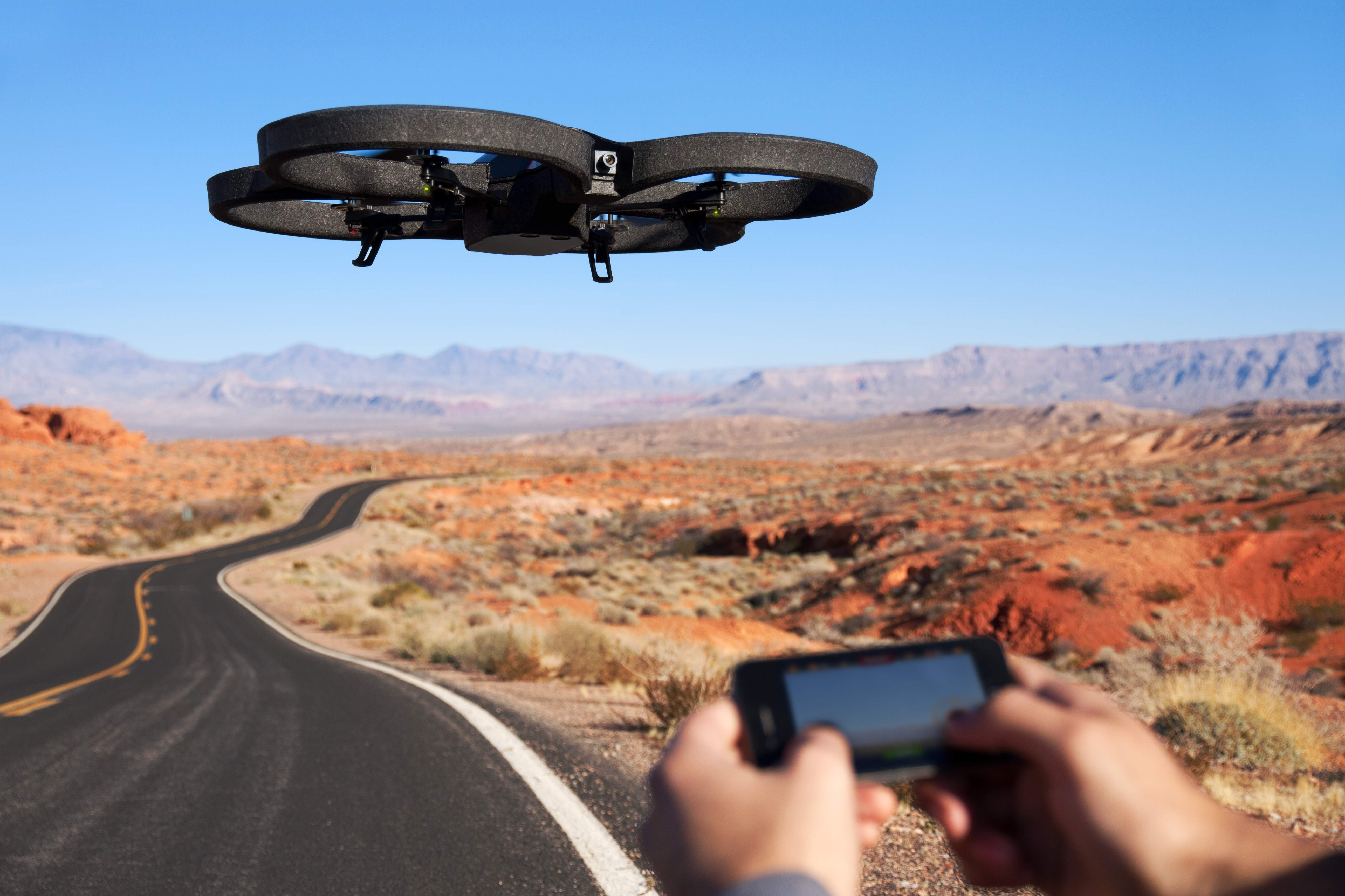
A small unmanned aircraft system for mapping, developed for a National Science Foundation grant to improve STEM education.

In north Louisiana, there’s a fantastic little place known for Muscadine grapes, pecans, and on occasion, alligators.

Muscadines always get turned into jelly; an excellent topping for southern-style biscuits (my wife says she’s still working on mastering the family biscuit recipe, but she’s produced the finest biscuits I’ve ever had the pleasure of eating).

Pecans, a grocery bag of which could fetch a gold bar by northern exchange rates, are so plentiful that they must be given away. They’re so much a part of my wife’s heritage that we decided to get married beneath those pecan trees.

And when the water is high in the backyard bayou, a small alligator sometimes will make itself at home. If the alligator is lovingly cared for and becomes fat, a portion of that alligator eventually will make its way to our dinner table in the form of a delightful alligator sauce piquant (wife insists that it be cooked like shrimp, and not burnt to a crisp as it’s done here in the North).

So before we went down to visit my wife’s family farm for Thanksgiving, I decided to pack up one of the “drones” I’ve developed at the National Science Foundation grant where I work, to see if I couldn’t map out this interesting place.

Friday, August 24, 2012

Drones are monitoring sea mammals, keeping tabs on oil spills, helping governments prevent floods.


Every year, AUVSI, the Association for Unmanned Vehicle Systems International,hosts the biggest conference and trade show for drones in the country (but don't call them drones there; the term is UAS, for Unmanned Aerial Systems, please).

The industry group's last convention was in Las Vegas, and wrapped up earlier this month. A colleague who was there sent me the exhibition catalog. As is the custom nowadays, you could have read all that info online. But the printed version was still worth reading, and served as a snapshot of the "state of the drone."

I've taken four of what I thought were the most interesting talks, and pasted their descriptions here. The list includes researchers and developers using drones to monitor oil spills and the health of marine mammals. In one discussion, a Thai UAV company claims their technology helped the government make decisions that averted a major flood from inundating Bangkok.


Friday, July 27, 2012

Maker of the AR Drone invests in GIS. Is cheap, commerical drone mapping on the way?


Many people's first introduction to commercial drones may have been the AR Drone by Parrot. Originally marketed as a futuristic RC toy you control via WiFi with an augmented reality iPhone AP, the AR Drone is a consumer-grade, $300 quadrotor with an HD Camera, the first of its kind that has been mass produced.

Parrot, the company that develops and manufactures the drone, have sold 300,000 ARs since 2010 (to put the number in perspective, the FAA estimates 1/10 that number of commercial drones will by flying in the national airspace alongside manned aircraft by 2020). It's also developed a user base that is constantly tweaking the drone and figuring out new uses.

Videographers have rigged the AR Drone with higher-end cameras and found ways to extend its range. Occupy activists have tried to hack them to broadcast live video of protests. They've also been tested as potential platforms to conduct drone journalism at The University of Nebraska's Drone Journalism Lab.

Yesterday, Pix4D, a company that specializes in making software that converts aerial shots from drones into 3D photomaps, announced that it would be receiving a $2.4 million investment from Parrot.

"With the fast technological advances in miniaturized autopilots and digital cameras, lightweight autonomous flying platforms are increasingly used to generate up-to-date and detailed environmental maps and geographical information data," Pix4D said in a press release. "Furthermore, recent changes to the regulatory framework for civilian drones will drive UAV adoption and help address the soaring demand for GIS data."

Christoph Strecha, CEO of Pix4D appeared in a recent video along with Jean-Christophe Zufferey, CEO of senseFly, who also received funding from Parrot. SenseFly produces the "Swinglet Cam," a micro drone system designed for photomapping missions.

In the video, Strecha said it would be "interesting" for his company to step into "To produce games, to produce augmented reality that can be done with quadrotors for the consumer market."

The investment from Parrot, who made quadrotors accessible to average consumer, begs the question as to whether the consumer electronics manufacturer will attempt to do with GIS photomapping what it did to commercial drones. Could a $300 drone mapping system be far off? Would journalists adopt such a device for their reporting? How about city planners, environmental researchers, and construction companies -- would they adopt it as well?

Pix4D hasn't responded yet to questions, but I will update if they do.

Joint video announcement by Pix4D and senseFly

A drone-generated photomap of Port Au Prince, Haiti, generated by Pix4D software.