The idea of using homebrew drones for independent journalism is picking
up steam globally.
I just got a digital copy of a story from Aug-Sept
issue of seLecT,
the Brazilian art & design magazine, which features a story about that same topic. In it, writer and art professor Nina Gazire interviews the Occucopter developer Tim Pool, Nebraska
Drone Journalism Lab professor Matt Waite, and myself.
As one would expect, the story is in Portuguese, so here it is translated (via Google):
AT THE END OF 2011, A JOURNALIST OF 25 YEARS HAS BECOME THE SPOKESMAN OF ONE OF THE MORE RECENT EVENTS DISSATISFACTION WITH THE WORLD ECONOMIC CRISIS.
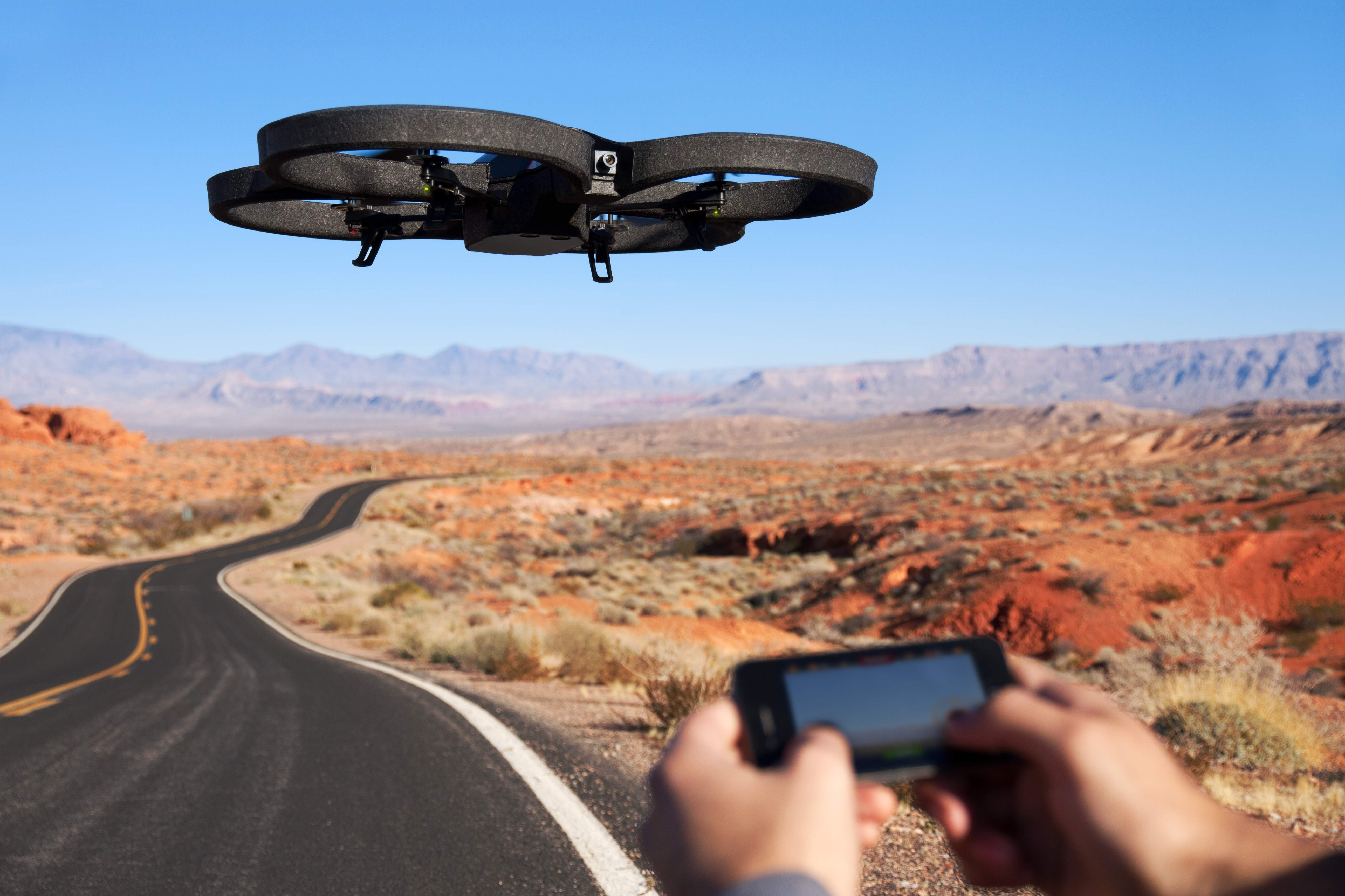
Many people's first introduction to commercial drones may have been the AR Drone by Parrot. Originally marketed as a futuristic RC toy you control via WiFi with an augmented reality iPhone AP, the AR Drone is a consumer-grade, $300 quadrotor with an HD Camera, the first of its kind that has been mass produced.
Parrot, the company that develops and manufactures the drone, have sold 300,000 ARs since 2010 (to put the number in perspective, the FAA estimates 1/10 that number of commercial drones will by flying in the national airspace alongside manned aircraft by 2020). It's also developed a user base that is constantly tweaking the drone and figuring out new uses.
Yesterday, Pix4D, a company that specializes in making software that converts aerial shots from drones into 3D photomaps, announced that it would be receiving a $2.4 million investment from Parrot.
"With the fast technological advances in miniaturized autopilots and
digital cameras, lightweight autonomous flying platforms are
increasingly used to generate up-to-date and detailed environmental maps
and geographical information data," Pix4D said in a press release. "Furthermore, recent changes to the
regulatory framework for civilian drones will drive UAV adoption and
help address the soaring demand for GIS data."
Christoph Strecha, CEO of Pix4D appeared in a recent video along with Jean-Christophe Zufferey, CEO of senseFly, who also received funding from Parrot. SenseFly produces the "Swinglet Cam," a micro drone system designed for photomapping missions.
In the video, Strecha said it would be "interesting" for his company to step into "To produce games, to produce augmented reality that can be done with quadrotors for the consumer market."
The investment from Parrot, who made quadrotors accessible to average consumer, begs the question as to whether the consumer electronics manufacturer will attempt to do with GIS photomapping what it did to commercial drones. Could a $300 drone mapping system be far off? Would journalists adopt such a device for their reporting? How about city planners, environmental researchers, and construction companies -- would they adopt it as well?
Pix4D hasn't responded yet to questions, but I will update if they do.
Joint video announcement by Pix4D and senseFly
A drone-generated photomap of Port Au Prince, Haiti, generated by Pix4D software.
Yesterday my colleague, Acton Gorton, sent me an email that the Association for Unmanned Vehicle Systems International (AUVSI), an industry group representing defense, civil and commercial drone developers and operators, had released a “code of conduct” for the unmanned aircraft systems industry.
“This code is intended to provide our members, and those who design, test, and operate UAS for public and civil use, a set of guidelines and recommendations for safe, non‐intrusive operations,” the code reads. “Acceptance and adherence to this code will contribute to safety and professionalism and will accelerate public confidence in these systems.”
The code is broken into three sections, relating to “safety,” “professionalism,” and “respect.” The code is good as a framework for further discussion, but it’s not terribly specific as-is. For example, the safety portion of the code requires “crew fitness for flight operations,” but mentions no standards by which crew fitness should be judged. Likewise, it requires “Reliability, performance, and airworthiness to established standards,” but does not specify what those standards might be.
The AUVSI also is not the first to develop a code for UAS operations. That first likely belongs to RCAPA, the Remote Control Aerial Photography Association. The RCAPA has an extensive list of guidelines that cover drone construction, flight operations (including checks for control systems, and operations before, during and after flight), and even maintenance logs.
AUVSI likely is keeping broad definitions because it is trying to cover large swaths of the drone industry, which encompasses a wide variety of devices and goals, whereas RCAPA is mostly aiming to represent individual professionals and hobbyists who use drones specifically for aerial photography. But both are similar in that they are trying to safeguard the people who develop and operate drones.
When I launched DroneJournalism.org in December, 2011, I had a purpose in mind: to become a hub for developing the ethical, educational and technological framework for the emerging field of drone journalism. Hoping to become the “Wiki of Drone Journalism,” I opened much of the website to professional colleagues who have an interest in the field. Registration is still opened to interested parties.
Since launching the site, my co-developer and I have built two fixed-wing drones, destroyed one of them in testing, and are cobbling together a multi-rotor journalism drone. But we’ve added very little to the site in terms of drone journalism ethics, and I hope to change that.
Some of the following is from previous posts on DroneJournalism.org, and those form the basis of a code for drone journalists I am proposing. The most recent additions to the code involves a tiered approach to drone journalism ethics that borrows from the philosophy of Maslow’s pyramid.
Months of planning, training, re-design, and fabrication finally paid off for DroneJournalism.org developers, as we successfully launched a journalism drone for the first time on Sunday, June 3, in the small Illinois town of Tuscola.
Eventually the drone will be equipped with an Arduino-based autopilot
(APM 2.0) and cameras to collect aerial photography and aerial
photomaps for use in journalism investigations. JournoDrone 2 is the successor to JournoDrone One, which was meant to be a "Unmanned Aerial System (sUAS) for journalists that is powerful, durable, transportable, affordable, upgradeable and supported by a community of experts."
JournoDrone One was smashed to pieces during testing in two months ago. Since then, I had been applying the lessons learned from the first drone to make a drone for journalism that was stronger and more capable.
The June 3 flight was a
basic shakedown of the airframe, without autopilot or sensors, to prove
the airworthiness of the drone. While the airframe proved slightly heavy and unpredictable at times,
our indication is with some modification it will be a competent flyer
for our purposes.
JournoDrone 2 is based on the "FPV Raptor" radio controlled airplane
with some important modifications, the most important of which is carbon
fiber-reinforced fuselage. The airplane had a fairly good track record
as a First Person Video drone, so we didn't feel that we needed to
change the layout of the craft. Yet we needed to have an extra layer of
security to make it more of a "tool" rather than "toy."
While we had some initial concerns about weight gain, the two layers
of carbon fiber and epoxy proved its worth when the aircraft experienced
a sudden gust of wind in its second flight and crashed. While the
impact separated the motor pod, chipped the propeller, bent the motor
shaft, and cracked the casing of an on-board camera, the fuselage was
totally unscathed. We were not able to recover the on-board video of
that second flight.
But that's OK. Drone development, especially at this state of technology, is a matter of trial-and-error. That's why myself and fellow DroneJournalism.org developer Acton Gorton are giving it another shot. We are taking all of the experience, knowledge, and goals from the JournoDrone One project and starting again with JournoDrone 2.
Law enforcement agencies will be able to get drones off the ground more quickly, and also will be able to use larger drones, the Federal Aviation Administration announced yesterday.
A news release from the FAA yesterday said that those agencies will be able to enter into a two-step path to authorization, and thus speeding up the process for law enforcement to deploy drones.
"Initially, law enforcement organizations will receive a COA (Certificate of Authorization) for
training and performance evaluation," the FAA said. "When the organization has shown
proficiency in flying its UAS (Unmanned Aerial System), it will receive an operational COA."
A COA provides the agency with the authorization to fly drones in the national airspace. Currently it's the only way that a government agency can legally fly a drone, which the FAA calls a UAS, and the application process isn't open to commercial industry or private individuals.
The announcement doesn't specify what the requirements are for a law enforcement agency to show proficiency, and doesn't detail the differences between the two types of authorizations. But it does indicate that the FAA is following up on its federal obligation to expedite drone authorizatio
We almost had it. After months of research, development and heartache, DroneJournalism.org was about to have its very first aerial photographs. And while it wasn't going to be from a drone, these photos would be gathered easily and available instantly.
The balloon went up, the line went out, but something didn't seem right. And then... well, in short, on Wednesday, May 2, at approximately 4:00 p.m., we almost had it. What was it, exactly?